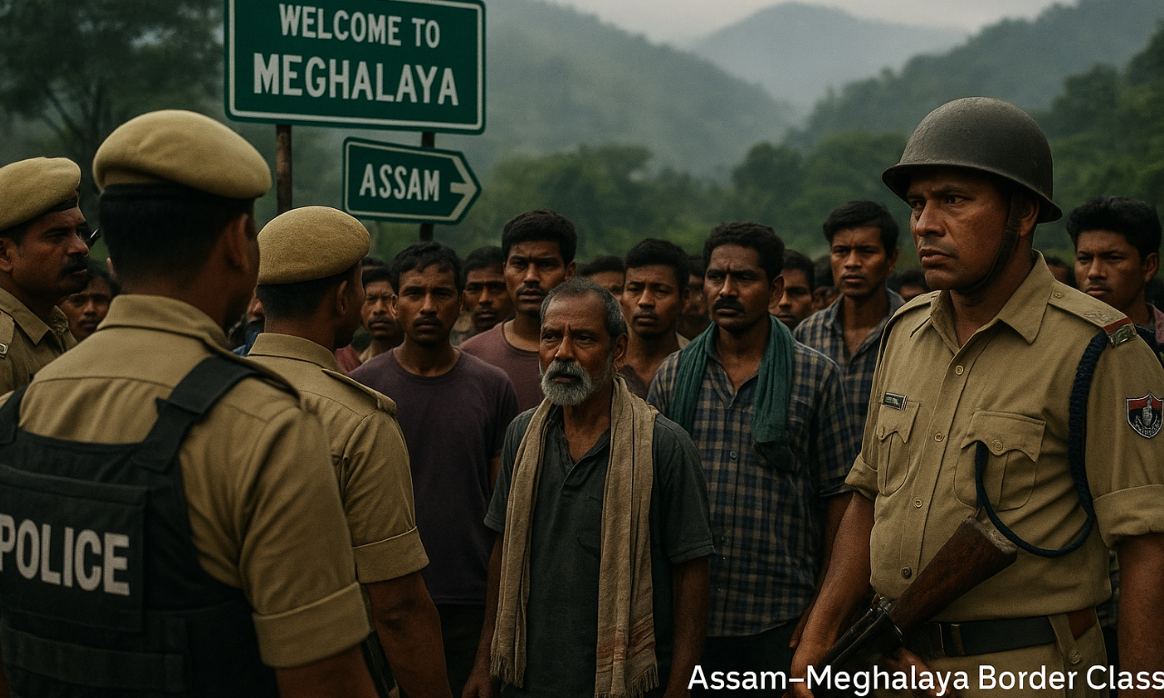
A violent clash recently broke out along the Assam–Meghalaya border, leading to the death of a resident from Assam’s West Karbi Anglong district. The incident occurred in a disputed stretch where both states claim ownership, highlighting the continuing tensions despite earlier efforts to settle the boundary conflict through a 2022 MoU.
Background of the Dispute
- The Assam–Meghalaya border dispute traces back to the British colonial period, when Assam included present-day Meghalaya, Nagaland, Mizoram, and Arunachal Pradesh.
- After Meghalaya became a full-fledged state in 1972, boundary differences arose.
- The Assam Reorganisation (Meghalaya) Act, 1969 formalized boundaries, but Meghalaya did not accept the demarcation.
Why Meghalaya Rejected the 1969 Act
- The Act followed the 1951 committee’s recommendations that transferred some territories of today’s Meghalaya (like parts of Ri-Bhoi and Jaintia Hills) to Assam.
- Meghalaya argued that these lands traditionally belonged to tribal chiefs (Himas) under customary governance.
- The state maintained that ancestral and tribal ownership should be recognized over administrative demarcations.
Assam’s Position
- Assam insists the 1969 boundary is legally valid and supported by historical documents.
- It argues that Meghalaya has insufficient archival evidence to back its territorial claims.
Extent and Areas of Conflict
- By 2011, the dispute was narrowed to 12 contested sectors across the districts of West Khasi Hills, Ri-Bhoi, and Jaintia Hills (Meghalaya) and adjoining Kamrup and Karbi Anglong (Assam).
- These regions often witness tensions, clashes, and cross-border encroachments.
Major Efforts to Resolve the Dispute
- Joint Official Committee (1983): Suggested a Survey of India re-demarcation, but no consensus was reached.
- Chandrachud Commission (1985): Meghalaya rejected the report, citing disagreement with its conclusions.
- Survey of India (1991): Demarcated about 100 km of boundary — Meghalaya refused to accept it.
- Centre’s Role (2011): Meghalaya sought central intervention and a boundary commission; both states appointed nodal officers.
- Renewed Talks (2021–2022):
- Three regional committees from each state reviewed disputed sites.
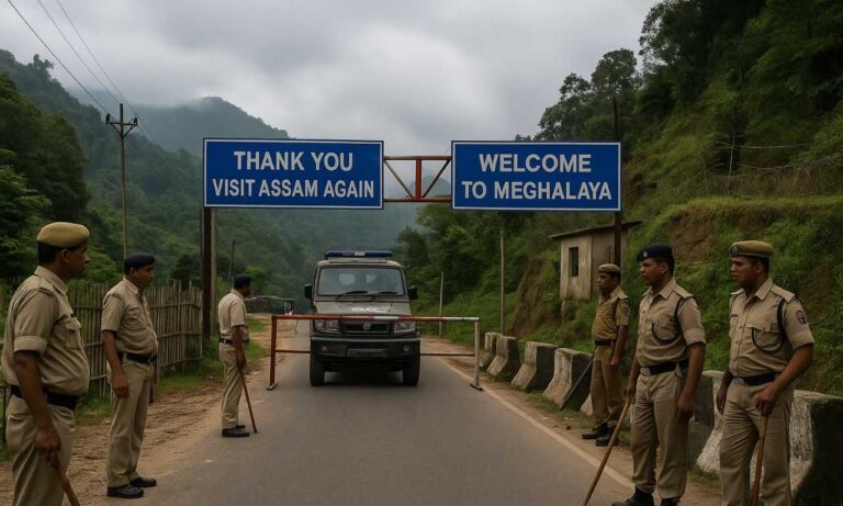
- In March 2022, a historic MoU was signed resolving 6 of 12 conflict zones (36.79 sq km).
- Assam got 18.51 sq km, while Meghalaya received 18.28 sq km, making 70% of the boundary dispute-free.
Current Status and Challenges
- The remaining six areas, including Langpih, Borduar, and Block I & II, remain unresolved and are considered sensitive.
- Periodic clashes continue over agricultural and land rights, as seen in the latest incident, reflecting the need for clear ground demarcation and stronger local coordination.
Conclusion
The Assam–Meghalaya border issue is rooted in historical ambiguity and tribal land traditions. A peaceful resolution requires community-level engagement, clear demarcation, and sustained political dialogue to prevent further violence and promote stability in the Northeast.
This topic is available in detail on our main website.