
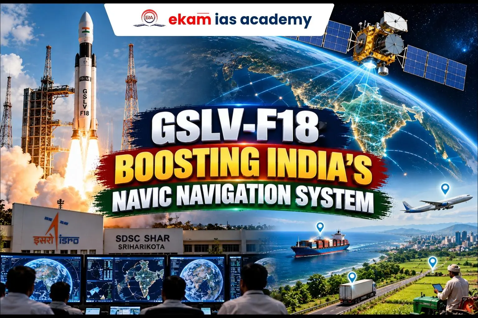
ISRO successfully launched the NVS-03 navigation satellite aboard GSLV-F18 from the Satish Dhawan Space Centre, Sriharikota, highlighting the significance of the GSLV-F18 Mission, ISRO GSLV Launch and ISRO Space Missions 2026.
Key Features of NVS-03
- Satellite: NVS-03, weighing approximately 2,250 kg, with a planned lifespan of 12 years.
- Launch vehicle: Geosynchronous Satellite Launch Vehicle (GSLV-F18), marking an important GSLV-F18 Satellite Launch.
- Orbit: Initially placed in Geosynchronous Transfer Orbit (GTO).
- Technology: Carries an Indian-made atomic clock for accurate timing.
- Signals: Supports L1, L5 and S-band navigation services.
What is NavIC?
- Navigation with Indian Constellation (NavIC) is India’s independent regional satellite navigation system, also known as the Indian Regional Navigation Satellite System.
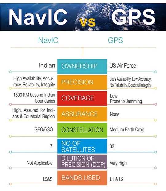
- Provides Position, Navigation and Timing (PNT) services across India and approximately 1,500 km beyond its boundaries.
- Applications: Disaster response, maritime navigation, transport, defence and location-based services, highlighting NavIC Applications and Importance.
- Reduces dependence on foreign navigation systems such as GPS and strengthens India’s Indigenous Navigation System and NavIC Technology in India.
- The India’s NavIC Navigation System is an important component of India’s strategic space capabilities and is relevant to NavIC Satellite System UPSC preparation.
What is an Orbit?
- An orbit is the curved path followed by a satellite around Earth under gravity.
- LEO: Used mainly for Earth observation and communication.
- Geostationary orbit: Satellite appears stationary above the equator.
- GTO: An elliptical transfer orbit used to reach higher operational orbits.
What are Earth Observation Satellites?
- Satellites that monitor Earth’s land, oceans and atmosphere using cameras and sensors.
- Examples: Cartosat, Resourcesat and Oceansat.
- Applications: Crop monitoring, flood mapping, weather observation, urban planning and environmental protection.
- Unlike navigation satellites, they collect information about Earth’s physical conditions.
Challenges
- Strategic autonomy: Strengthens indigenous navigation capabilities through the Indian Satellite Navigation System.
- Economic benefits: Supports logistics, fisheries and digital services.
- Challenges: Atomic clock reliability, satellite replacement and uninterrupted services.
- Way forward: Improve indigenous components, testing and constellation maintenance to strengthen NavIC Technology in India.
Conclusion
A reliable NavIC constellation strengthens India’s technological self-reliance, national security and space-based public services. The GSLV-F18 and NavIC, Navigation with Indian Constellation, Indian Regional Navigation Satellite System, ISRO Space Missions 2026, Space Technology UPSC and Science and Technology Current Affairs UPSC perspectives highlight the importance of India’s indigenous satellite navigation capabilities.