
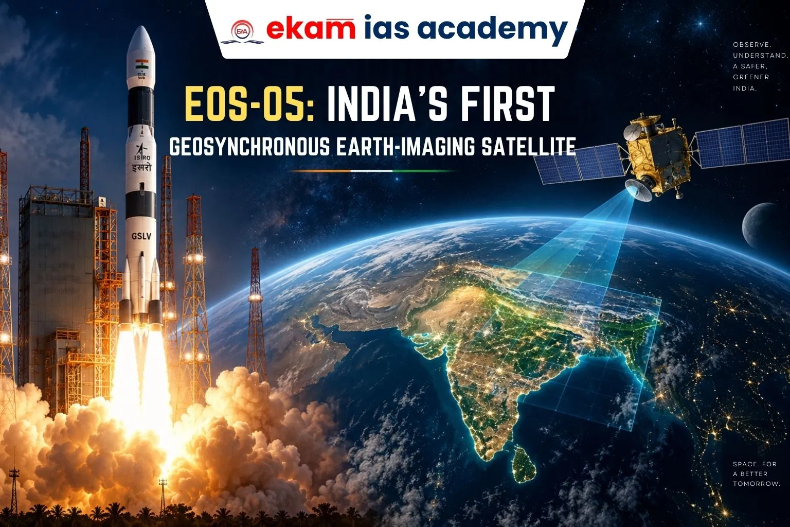
The Indian Space Research Organisation (ISRO) successfully launched EOS-05 India’s First Geosynchronous Earth-imaging Satellite, marking a strategic milestone in space technology. The EOS-05 Satellite is India’s first dedicated earth-imaging satellite in geosynchronous orbit at around 36,000 km, strengthening Satellite Imaging in India, Geospatial Imaging India, and ISRO Satellite Technology.
What Are Earth-Imaging Satellites?
- Artificial satellites equipped with sensors that collect images and information about Earth’s surface and atmosphere.
- Use remote sensing instruments, both active and passive, to measure electromagnetic radiation reflected or emitted by Earth.
- Launches began with Sputnik 1 (1957) and later Explorer 6 (1959), which captured the first crude images of Earth.
- An Earth Observation Satellite India system such as EOS-05 helps generate continuous information for agriculture, environment, disaster management, and strategic monitoring.
- The EOS-05 ISRO mission represents a new stage in India’s earth-observation capabilities.
Key Features
- Orbit: Geosynchronous, enabling continuous observation of the same region and making EOS-05 an important Geosynchronous Imaging Satellite India mission.
- Payloads: Multispectral sensors to distinguish vegetation, water, land use.
- Coverage: Rapid revisit capability with imaging of the Indian subcontinent every 30 minutes.
- Applications: Agriculture monitoring, disaster management, environment studies, and strategic surveillance.
- Comparison: Unlike low-earth orbit satellites (polar/sun-synchronous), EOS-05 trades fine detail for real-time, frequent coverage.
- As India’s First Geosynchronous Imaging Satellite, EOS-05 strengthens persistent monitoring and rapid data availability.
- The EOS-05 Mission also expands the capabilities of the broader ISRO Earth Observation Satellite programme.

Strategic Importance
- Disaster Monitoring: Tracks floods, cyclones, forest fires, and glacier changes.
- Agriculture: Assesses crop health, irrigation, and stubble burning patterns.
- Security: Supports border surveillance and strategic monitoring.
- Environment: Observes deforestation, pollution, and landform changes.
- The growing role of Satellite Imaging in India strengthens both civilian planning and strategic decision-making.
- Advanced Geospatial Imaging India capabilities can support faster monitoring of geographically sensitive areas and changing environmental conditions.
Institutional Significance
- ISRO’s Resilience: EOS-05 marks the first successful launch of 2026, restoring confidence after two PSLV failures (2025, 2026).
- Cryogenic Stage: Success strengthens reliability of GSLV after earlier setbacks.
- Strategic Label: ISRO describes EOS-05 as “strategic,” reflecting its dual civilian and defence utility.
- The successful EOS-05 Launch demonstrates progress in ISRO Satellite Technology and geosynchronous earth-observation capabilities.
- The GSLV-F17 EOS-05 mission highlights the role of GSLV in deploying heavier and more sophisticated spacecraft.
- GISAT-1A EOS-05 also reflects India’s efforts to develop persistent geosynchronous earth-imaging capability.
Broader Context
- India earlier relied on INSAT-3D series for weather imaging in geostationary orbit.
- Dedicated earth-observation satellites were limited to low-earth orbits, offering high resolution but less frequent coverage.
- EOS-05 bridges this gap, combining wide-area monitoring with rapid revisit cycles.
- The mission strengthens the wider Earth Observation Satellite India ecosystem and enhances India’s independent imaging capabilities.
- The development of Geosynchronous Imaging Satellite India platforms can reduce dependence on external imagery for time-sensitive applications.
Conclusion
EOS-05 represents a technological leap for India’s space programme, enhancing capabilities in real-time monitoring, disaster preparedness, agriculture, and national security. For India, the true measure of credibility lies not in one successful launch but in the consistent utility of payloads and sustained cadence of missions.
As EOS-05 India’s First Geosynchronous Earth-imaging Satellite, the mission strengthens EOS-05 ISRO, Satellite Imaging in India, and Geospatial Imaging India capabilities. The topic is also important for EOS-05 UPSC, particularly under GS Paper 3 themes related to space technology, remote sensing, disaster management, agriculture, national security, and technological self-reliance.